Geavanceerd Watermanagement: Crisisbeheersing & Preventief Onderhoud
Met de juiste inzichten van boven af komt er zo veel meer boven water.
Algemene slijtage, een stijgende zeespiegel en een toename van extreem weer hebben consequenties voor onze waterkeringen op zowel korte als lange termijn. Vanuit het oogpunt van crisisbeheersing is een betrouwbaar beeld nodig van de actuele waterveiligheid. Wij dragen hieraan bij door samen te werken met verschillende waterschapen om de inspectiekwaliteit, efficiëntie en veiligheid te waarborgen.
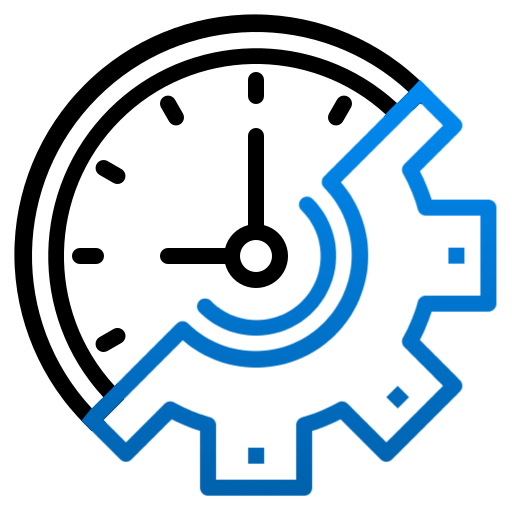
Bespaar zowel tijd als kosten
De traditionele aanpak van schouw vereist vaak een hoop tijd en mankracht. Dit is zeker het geval voor grote en complexe constructies zoals waterzuiveringsstations, dijken en diverse soorten waterkeringen. Drones zijn een efficiëntere oplossing, welke tot wel tien keer sneller kan zijn dan handmatige inspectie doeleinden. Dit scheelt enorm in de operationele kosten, waardoor zowel tijd als geld beter ingezet kan worden.
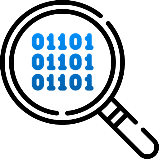
Beter preventief onderhoud
Hoewel sommige gebreken eenvoudig zijn te herkennen, kunnen andere soms maanden of zelfs jaren onopgemerkt blijven. Zo kunnen problemen zoals waterlekken, piping en ondergrondse tunnels uitgroeien tot uiterst gevaarlijke situaties als deze niet tijdig ontdekt worden. Onze sensoren zijn ideaal om dit soort gebreken vroegtijdig te identificeren. Voorkom onnodige kosten en noodreparaties aan de hand van voorspellend en preventief onderhoud.
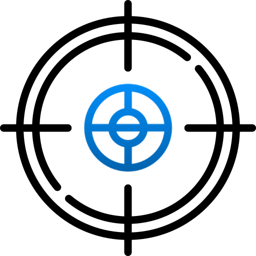
Precisie en detail als een paal boven water
Aan de hand van fotogrammetrie en LiDAR kunnen drones diverse assets, zoals dijklichamen, volledig in kaart brengen in zowel 2D als 3D. Met een hoge nauwkeurigheid worden details beter gewaarborgd. Modellen zoals deze zijn daarom erg bruikbaar voor preventief onderhoud en planningsdoeleinden.
Technologieën geschikt voor de watersector

LiDAR
LiDAR staat voor ‘Light Detection and Ranging’ en is een technologie die de afstand tot een object of oppervlakte bepaalt door het gebruik van laserpunten. LiDAR is dusdanig accuraat, dat het mogelijk is om aanwezige vegetatie en begroeiing uit de metingen te detecteren en eventueel te elimineren. Nuances rondom vegetatie op waterkeringen welke niet waarneembaar zijn voor het blote oog, worden op deze manier dus zichtbaar.
Fotogrammetrie
Lucht fotogrammetrie is een methode om de vorm en locatie van objecten en gebieden door metingen in foto’s te bepalen. Dit levert hoge kwaliteit beelden, 2D orthomosaics en 3D modellen op.
Thermisch
Met behulp van thermische sensoren is het mogelijk om zowel de aanwezigheid als de omvang van waterschaden te detecteren. Hierdoor kunnen problemen zoals waterlekken en piping in waterkeringen vroegtijdig achterhaald worden.
Grondradar
Met behulp van grondradar is het mogelijk om zowel de aanwezigheid als de omvang van ondergrondse holtes te detecteren. Hierdoor kunnen problemen zoals uitholling van dijken vroegtijdig achterhaald worden. Vanuit de lucht kunnen zelfs de grootste oppervlakken snel en gemakkelijk gescand worden.
Case Studies in de watersector
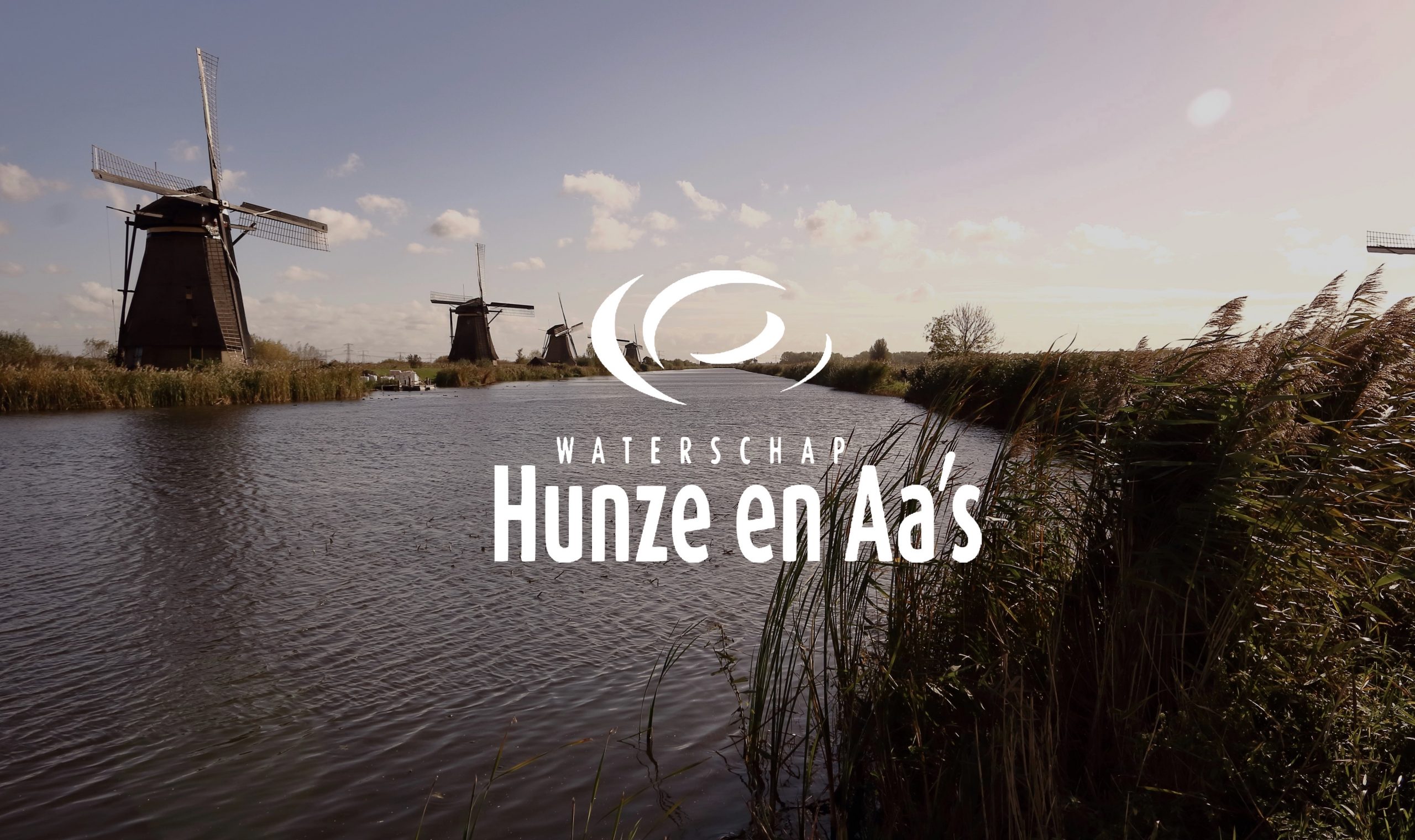
Hoe Hunze en Aa’s drones & AI toepassen in de strijd tegen het beruchte muskusratprobleem
Ondergrondse tunnelvorming is één van de grootste problemen waar waterschappen dagelijks mee worstelen. Rondom de Nederlandse dijken leven namelijk allerlei soorten dieren, zoals konijnen, mollen en muskusratten. De muskusrat in het bijzonder is een echte graver, en creëert aan de lopende band uitgestrekte gangenstelsels onder onze dijken. Dit leidt tot verzakkingen, en dat brengt risico’s met zich mee…
De volgende stap
Klaar voor een efficiënte, veilige en nauwkeurige aanpak voor het inspecteren van waterzuiveringsstations, waterkeringen en (pers)leidingen? Neem dan gerust contact met ons op!